Maps of Cheung Chau
🥾 Hiking Trails
🏖️ Beach Guide
Island Geography and Layout
Cheung Chau is shaped roughly like a dumbbell with distinct northern and southern sections connected by a narrow central isthmus where the main village is located. This unique geography, which earned it the nickname "Dumbbell Island," creates diverse landscapes and environments within a compact 2.46 square kilometer area. The northern and southern ends feature hilly terrain with scenic hiking trails, while the central section houses the bustling village, ferry terminal, and main commercial areas.
On the eastern side of the central strip lie the island's two premier swimming beaches—Tung Wan Beach and Kwun Yam Beach—while the picturesque Cheung Chau harbour faces west, providing shelter for the traditional fishing fleet and modern pleasure craft. This strategic layout makes navigation straightforward for visitors, with most attractions within comfortable walking distance of the ferry pier.
Key Geographic Features and Landmarks
Central Village Area: The heart of island life, featuring the ferry terminal, main shopping streets (Praya Road and Peak Road), traditional markets, restaurants, and the historic Pak Tai Temple. This pedestrian-friendly area serves as the starting point for exploring the island's many attractions.
Eastern Coastline: Home to the island's beautiful beaches including Tung Wan Beach (the main swimming beach with full facilities), Kwun Yam Beach (quieter with access to the Mini Great Wall trail), and the secluded Tung Wan Tsai (Coral Beach) offering pristine natural beauty.
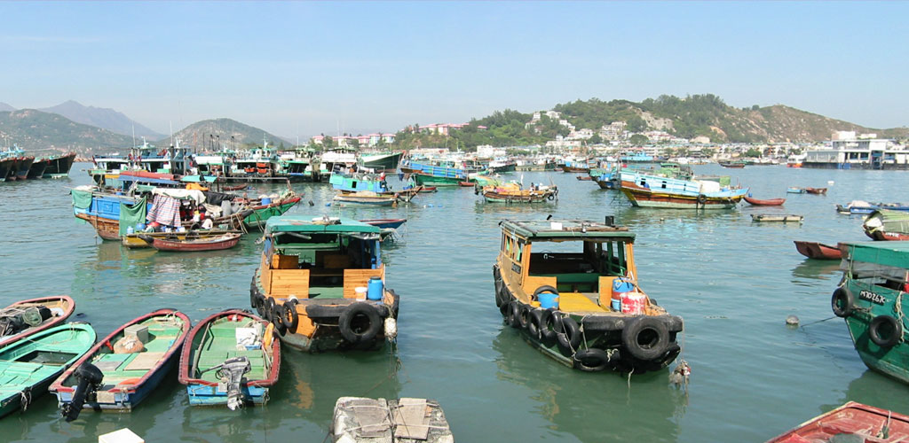
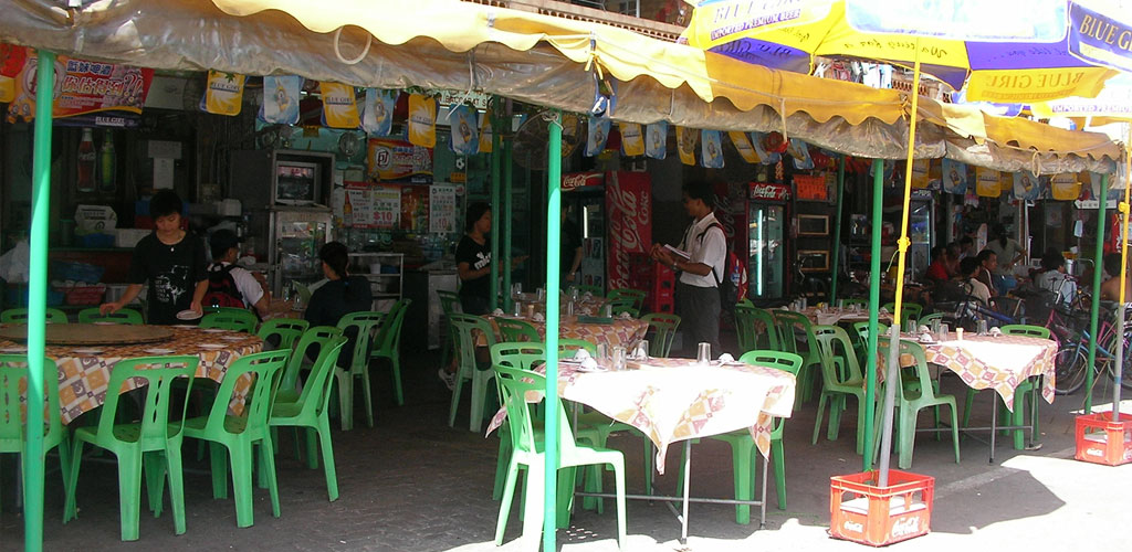
Western Harbour: A typhoon shelter that provides safe anchorage for the island fishing fleet during severe weather. Boats from neighboring islands also seek refuge here during typhoons. The harbour area features seafood restaurants with waterfront dining and traditional fishing village atmosphere.
Northern Hills: Elevated terrain featuring hiking trails, the North Lookout Pavilion with panoramic views, and residential areas. The northern section offers excellent vantage points for photography and scenic walks through lush greenery.
Southern Peninsula: The more adventurous hiking destination featuring the famous Cheung Po Tsai Cave (historic pirate hideaway), coastal walking paths, and spectacular sea views. This area rewards hikers with some of the island's most dramatic landscapes and cultural sites.
Walking Routes and Trail Networks
Mini Great Wall Trail: The island's signature 850-meter paved hiking trail begins behind Kwun Yam Beach and follows the southeastern coastline. This family-friendly trail features 16 named rock formations and offers stunning ocean views with minimal elevation gain, making it accessible to visitors of all ages.
Southern Island Circuit: A more challenging route that encompasses the southern half of the island, including visits to Cheung Po Tsai Cave, coastal viewpoints, and secluded beaches. This trail typically takes 2-3 hours and provides the most comprehensive island exploration experience.
Northern Exploration Routes: Less formal paths leading through residential areas to the North Lookout Pavilion and various scenic viewpoints. These routes offer insights into local island life while providing elevated perspectives of the surrounding waters.
Waterfront Promenade: A pleasant flat walk along the harbour front connecting various seafood restaurants, shops, and cultural sites. Perfect for evening strolls and sunset viewing.
Points of Interest and Navigation
Cultural Landmarks:
- Pak Tai Temple: Historic 1783 temple serving as the spiritual and cultural center of the island
- Cheung Po Tsai Cave: Legendary pirate hideaway accessible via southern hiking trails
- Love Lock Wall: Popular romantic destination for couples visiting the island
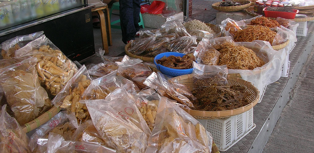
- Traditional Markets: Authentic local shopping areas showcasing daily island life
- Guides
Recreation Areas:
- Tung Wan Beach: Main swimming beach with lifeguards, facilities, and equipment rental
- Kwun Yam Beach: Quieter beach with coarse sand and Mini Great Wall trail access
- Coral Beach (Tung Wan Tsai): Secluded northern beach for nature enthusiasts
- Hiking Trail Network: Multiple routes for different skill levels and interests
- Guides
Transportation and Accessibility
Car-Free Environment: Cheung Chau maintains a pedestrian and bicycle-friendly atmosphere with no private cars allowed on the island. This creates a peaceful environment perfect for walking exploration and makes navigation simple for visitors.
Bicycle Routes: Well-established cycling paths connect major attractions, though some routes include hills and stairs requiring cyclists to carry their bikes. Bicycle rental shops are conveniently located near the ferry terminal.
Walking Distances: Most attractions are within 10-15 minutes' walk from the ferry pier, making the island highly accessible for day visitors. The compact size allows thorough exploration within a single day while maintaining a relaxed pace.
Interactive Map and Navigation Tools
The embedded Google Map below provides detailed geographic information and can be used for real-time navigation while exploring the island. The map shows topographical features, street layouts, major landmarks, and can be zoomed for detailed examination of specific areas.
View Larger Map
Map Usage Tips:
- Zoom Controls: Use the zoom function to examine specific areas in detail before visiting
- Satellite View: Switch to satellite imagery to see actual terrain and vegetation
- Directions: Click on specific locations to get walking directions from your current position
- Points of Interest: The map displays restaurants, shops, and attractions with user reviews
- Guides
Understanding Cheung Chau's geography enhances the visiting experience by enabling efficient exploration planning and ensuring you don't miss significant attractions. The island's compact size and logical layout make it an ideal destination for self-guided exploration while offering enough variety to satisfy different interests and activity levels.